 GlobeVerge
WORLD
GlobeVerge
WORLD
China’s radar satellites capture sharp images of glacier collapse site in Nepal
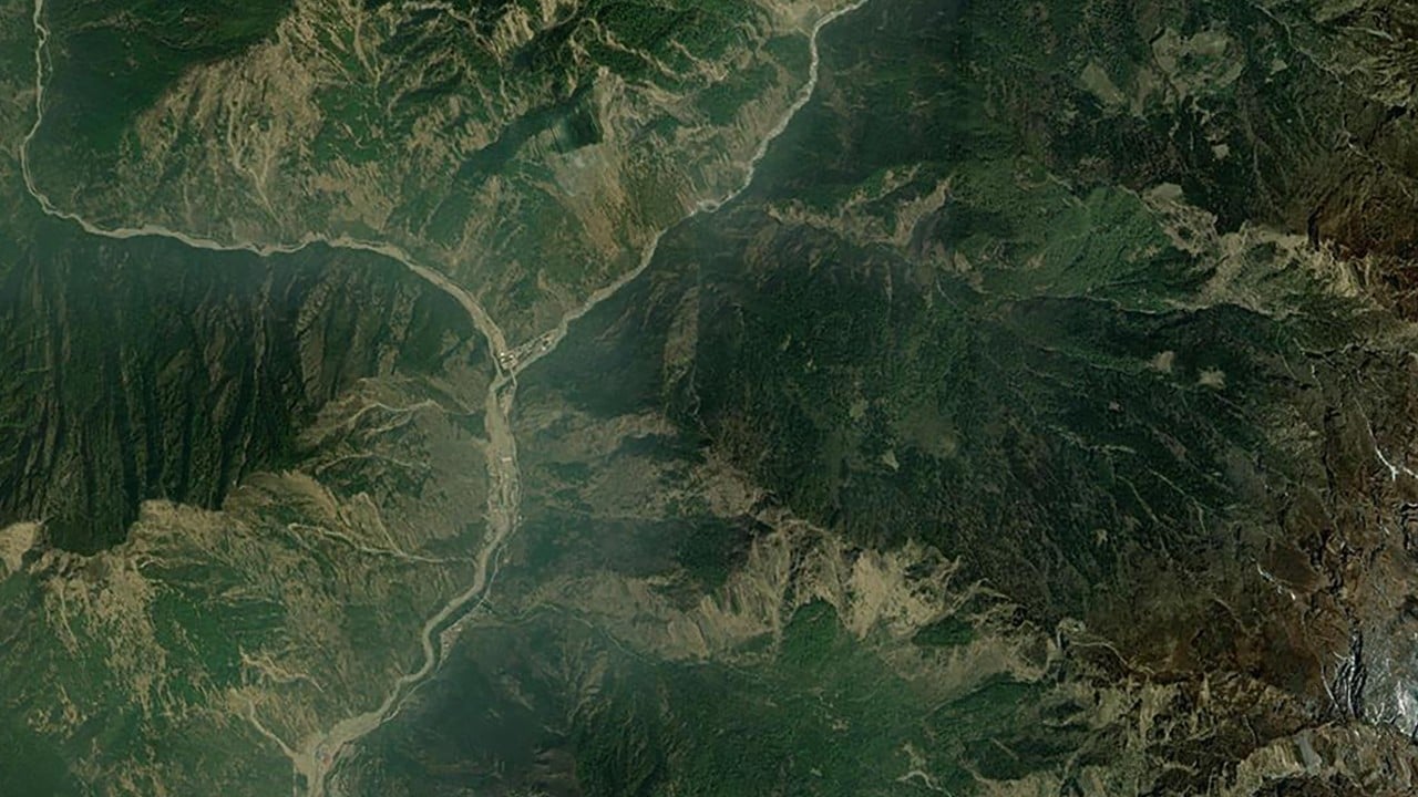
Within hours of a devastating glacier collapse on the China-Nepal border, a Beijing-based satellite company had already redirected six of its satellites to survey the disaster zone. The high-resolution radar images they captured revealed a massive collapse site near a remote mountain pass. Unlike optical sensors, radar signals can pierce through haze and…
Read more on South China Morning Post