 GlobeVerge
WORLD
GlobeVerge
WORLD
Satellite images reveal bedrock and glacier collapsed on the Nepal-Tibet border, then rivers flooded
KPRC 2
9h ago
4 newsrooms
GlobeVerge has tracked this story since 3h ago.
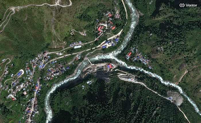
Earth scientists are searching satellite imagery following catastrophic flooding along the Nepal-China border for clues to the cause.
Read more on KPRC 2